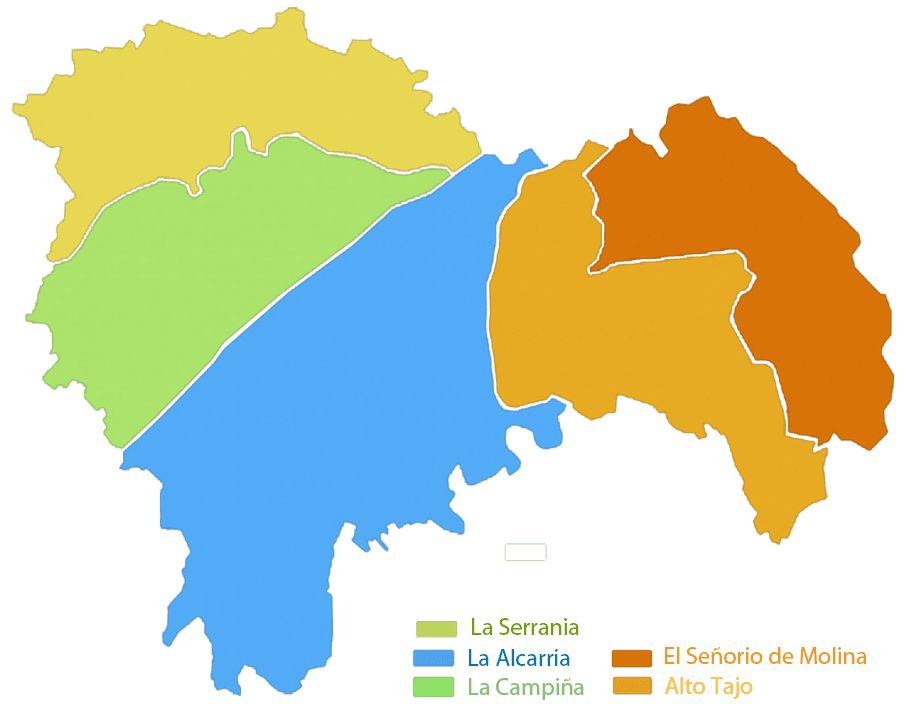
Guadalajara region is located in Castilla La Mancha region. It consists of five province, as it is shown in the map.
If you clickhere you will see the topographic map of the region.
It has about 250k population and near of 200.000 live between Guadalajara and Madrid, let there a big territory with a low population density.
It is remarkable than Guadalajara is inside Europe, between the areas among the most unpopulated areas, compared to north areas of nordic countries where the weather let difficult life.
Towns more populated after the capital is Azuqueca de Henares.
Following the rise of flats in Madrid province suffered an increase in population of localities around the Henares Corridor, the area linking Guadalajara with Madrid by the A2 highway.
However these towns not have history and have more than 50% of the population of the province.
Culturally the most important city of the province is Siguenza, Diocese of the province and with a history of centuries and more attractive than even the capital in terms of tourism.
Other major cities are historically Molina de Aragon, Pastrana, Brihuega, Cifuentes.
Weather of the region is between continental and mediterranean, being the strongest in the places of bit altitude.
Summers are long and hot and winters long and cold, springs and autumns are short but with big rains.
In the east area of the region temperatures could be lower of all Spain in winter and minimum temperatures lower in summer.
Weather of the province falls between continental and Mediterranean, being stronger at higher altitude sites. Summers are long and very hot and long, cold winters,
spring and autumn short transition stage with little rain but intense.
In the eastern part of the province you can reach the lowest temperatures recorded in Spain in winter.
The area of the Alcarria is more similar to the climate of Madrid due to altitude and proximity to the river, known countryside.
Rains are most notable in the region of the Serrania and in the Lordship of Molina where there is a higher altitude.
These areas are very suitable for mushroom picking and hunting due to an ecosystem special.
If you press here you will see the rainy complete map of the region and by areas when you hovering above.
© 2016 - All Rights Reserved - Diseñada por Sergio López Martínez
![[Valid RSS]](https://www.onepointsync.com/wp-content/uploads/2016/08/valid-rss-rogers.png "Validate my RSS feed")