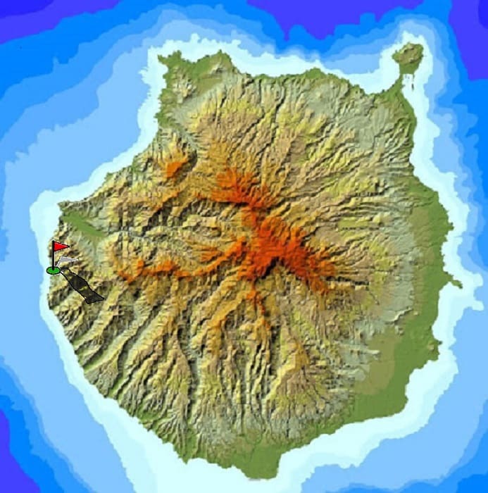
The island of Gran Canaria is very heterogeneous in reliefs and terrains. In a few kilometers you can completely change the landscape and the weather, as well as alternate plains and mountains quickly.
In the following map I expose several routes to do in the island and different photos of the journey.
There are of all levels and are marked in different colors depending on the difficulty involved.
In the previous table you have information referring to the described route.
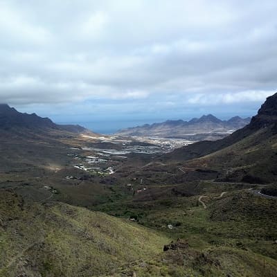
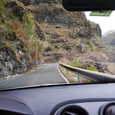
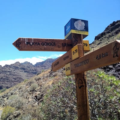
We leave with the car from the capital to the town of Tasarcito by GC2.
First direction Agaete and then towards La Aldea de San Nicolas.
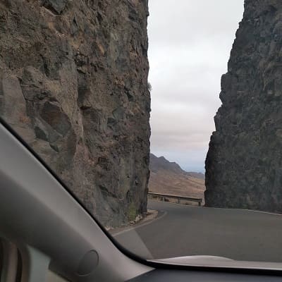
From there we will continue towards the village of Tasarcito where we will leave the car to continue on foot.
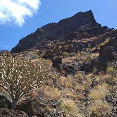
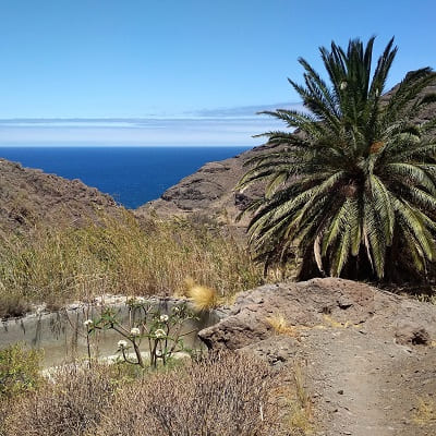
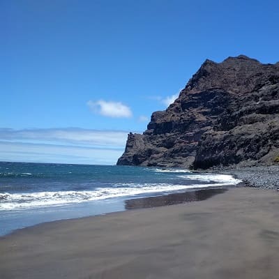
To get to this inhospitable beach, it is necessary to walk for more than two hours, so apart from wearing appropriate footwear, we must wear sun protection because the sun often sticks a lot during the whole journey.
We can see the different species of cactus and desert flora that inhabits the island. It is not well known so we will hopefully see one or two groups along the way. Even people who live in Gran Canaria for many years have not been on this beach, although their existence is known by all. Since the access is not easy and if they have to go to a beach they choose any of the beaches that Gran Canaria has to offer since there are better possibilities to take a bath.
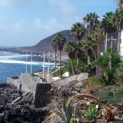
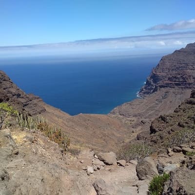
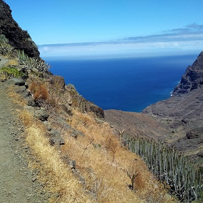
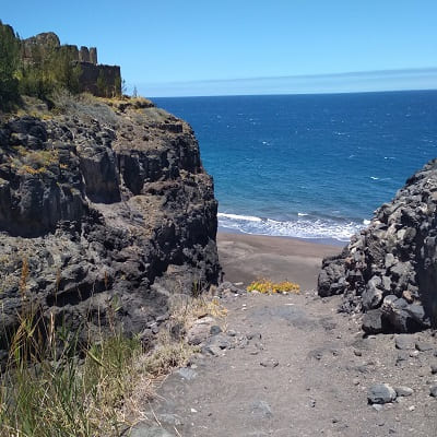
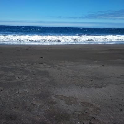
Once reached the end of the mountain we will see the beach whose sand is a characteristic dark color more similar to the beaches of Tenerife.
© 2016 - All Rights Reserved - Diseñada por Sergio López Martínez
![[Valid RSS]](https://www.onepointsync.com/wp-content/uploads/2016/08/valid-rss-rogers.png "Validate my RSS feed")