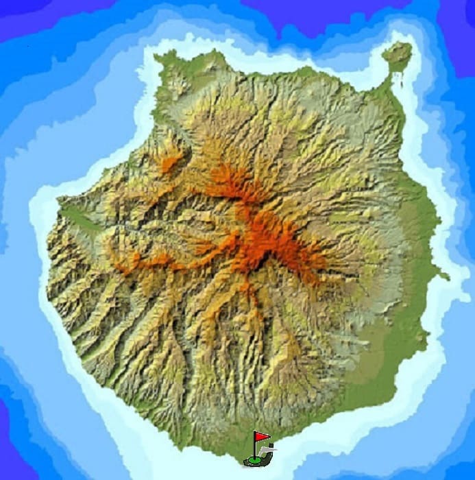
The island of Gran Canaria is very heterogeneous in reliefs and terrains. In a few kilometers you can completely change the landscape and the weather, as well as alternate plains and mountains quickly.
In the following map I expose several routes to do in the island and different photos of the journey.
There are of all levels and are marked in different colors depending on the difficulty involved.
In the previous table you have information referring to the described route.
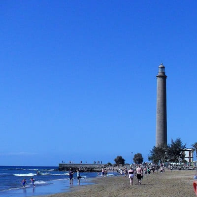
We leave with the car from the capital to the south on the GC1, towards Playa del Ingles.
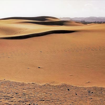
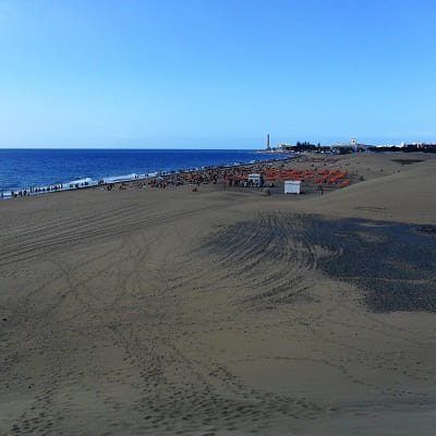
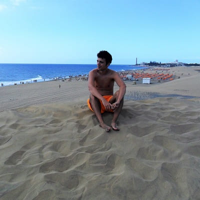
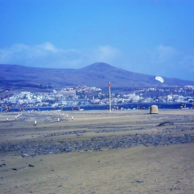
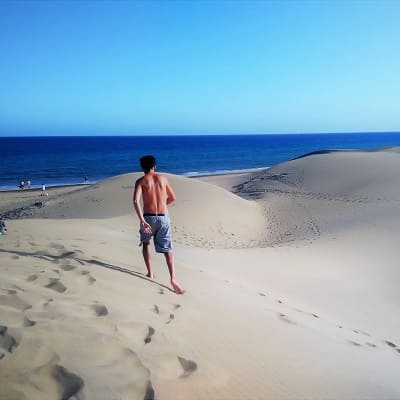
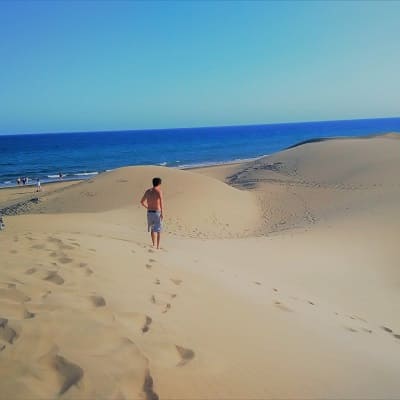
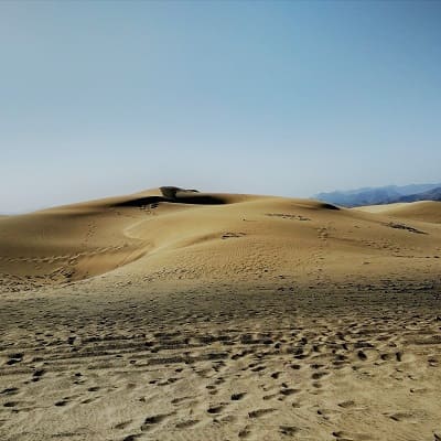
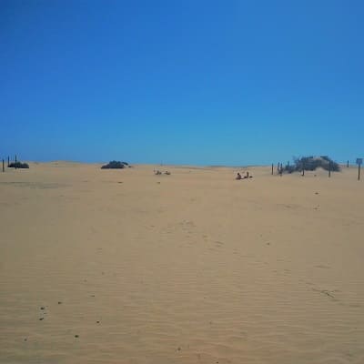
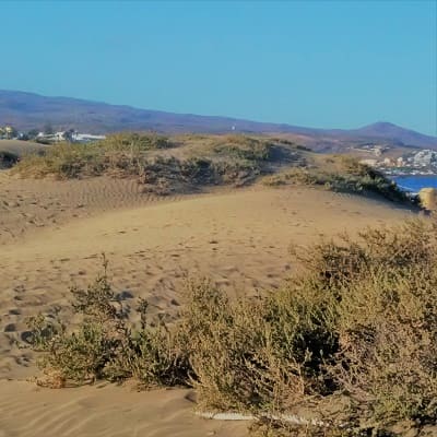
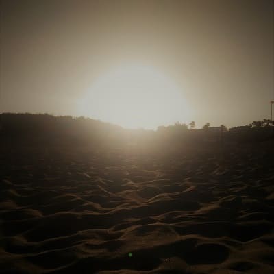
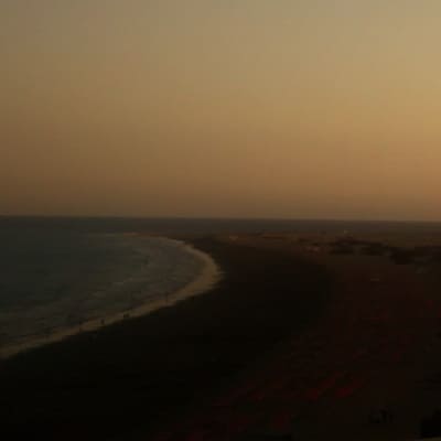
Once there we will park and enter the beach. From there we will realize a route visiting the little flora that there is and happening through the different dunes of the interior until arriving at the Lighthouse of Maspalomas.
Once we arrive there we will go back along the beach, reaching the point that separates Playa del Ingles and Maspalomas and we will return to playa del ingles.
© 2016 - All Rights Reserved - Diseñada por Sergio López Martínez
![[Valid RSS]](https://www.onepointsync.com/wp-content/uploads/2016/08/valid-rss-rogers.png "Validate my RSS feed")