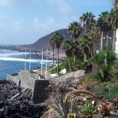
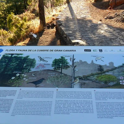
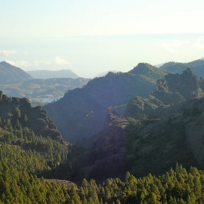
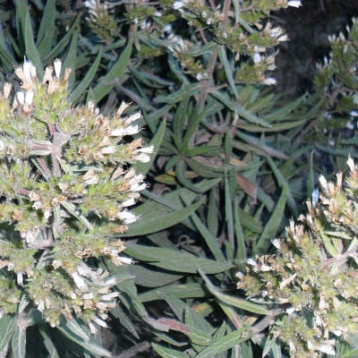
The island of Gran Canaria is very heterogeneous in reliefs and terrains. In a few kilometers you can completely change the landscape and the weather, as well as alternate plains and mountains quickly.
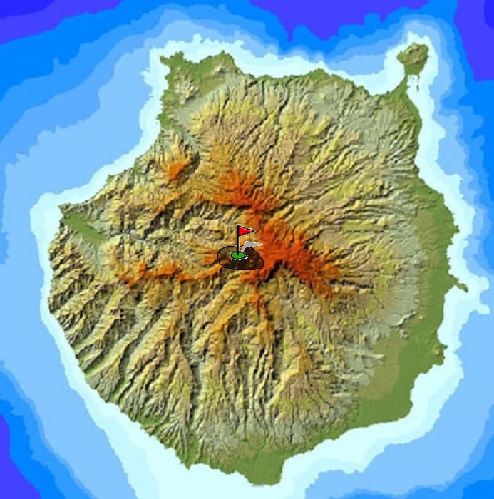
In the following map I expose several routes to do in the island and different photos of the journey.
There are of all levels and are marked in different colors depending on the difficulty involved.
In the previous table you have information referring to the described route.
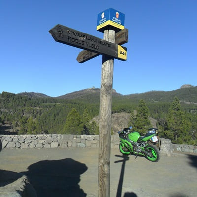
We leave with the car from the capital towards Tejeda by the GC3. We start the climb passing through towns such as Vega de San Mateo and Valsequillo. Once there we stopped at Tejeda to contemplate this beautiful town.
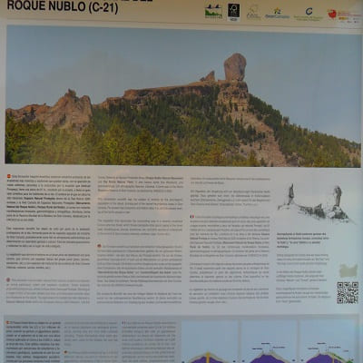
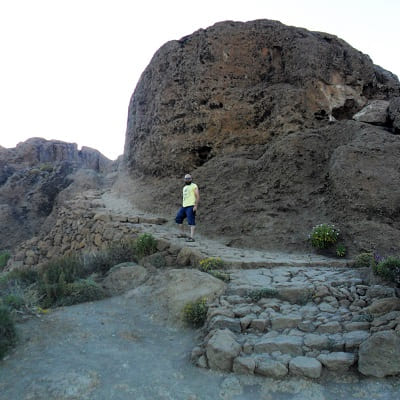
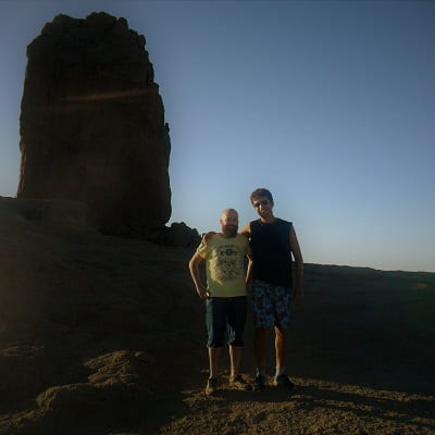
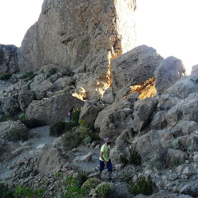
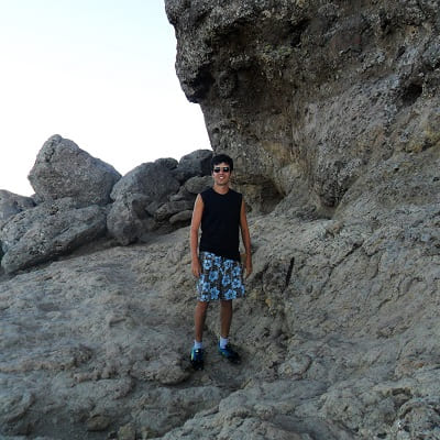
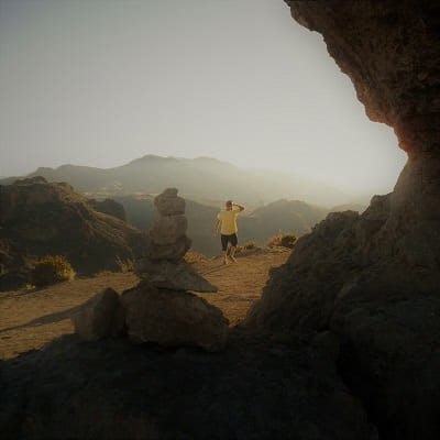
We will walk from Tejeda to climb Roque Nublo.
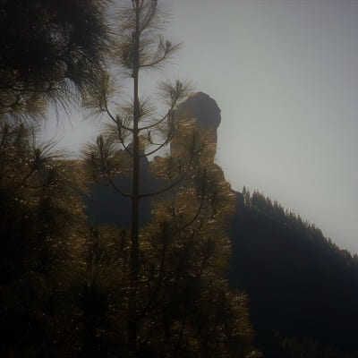
The climb is easy and it does not take more than half an hour walking. Once there we can contemplate the views of the entire western part of the island and the Teide if we catch a clear day. In the eastern part the background views of the capital are usually low clouds almost all year round, since they do not move so easily from that side of the island.
© 2016 - All Rights Reserved - Diseñada por Sergio López Martínez
![[Valid RSS]](https://www.onepointsync.com/wp-content/uploads/2016/08/valid-rss-rogers.png "Validate my RSS feed")