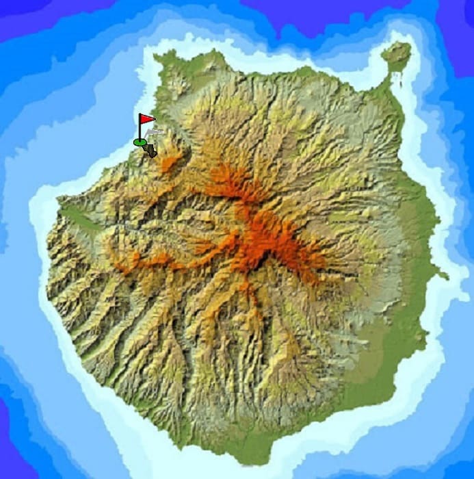
The island of Gran Canaria is very heterogeneous in reliefs and terrains. In a few kilometers you can completely change the landscape and the weather, as well as alternate plains and mountains quickly.
In the following map I expose several routes to do in the island and different photos of the journey.
There are of all levels and are marked in different colors depending on the difficulty involved.
In the previous table you have information referring to the described route.
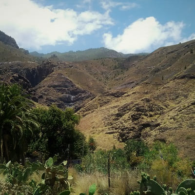
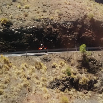
We leave the capital by car on the GC2 towards Agaete. Arriving at Agaete we will continue towards the Village of San Nicolas and it is between Agaete and the Village where we will stop in a town called El Risco.
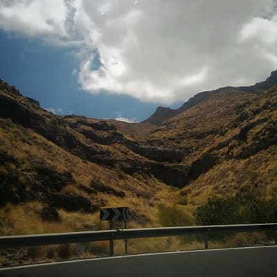
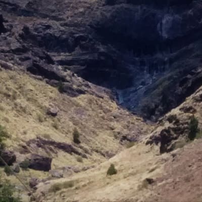
From there we will climb the steep slopes through the town until we come to a plain. We will go straight ahead towards the mountains and when entering the furrow we will go between the stones until we reach the small lake. This route is quite simple and does not last more than 1 hour to go and return to a normal pace.
There is some difficulty in getting around the stones, and if there is a storm it can be dangerous. The most beautiful thing is the landscape, the uniqueness of the town and being able to see the water fall from the mountain.
© 2016 - All Rights Reserved - Diseñada por Sergio López Martínez
![[Valid RSS]](https://www.onepointsync.com/wp-content/uploads/2016/08/valid-rss-rogers.png "Validate my RSS feed")