Region of Guadalajara has nothing to envy to other provinces of Spain. Here we can find wonders of nature that few people know.
The eastern part is quite unknown for most of the Spanish and has some of the best treasures as nature places.
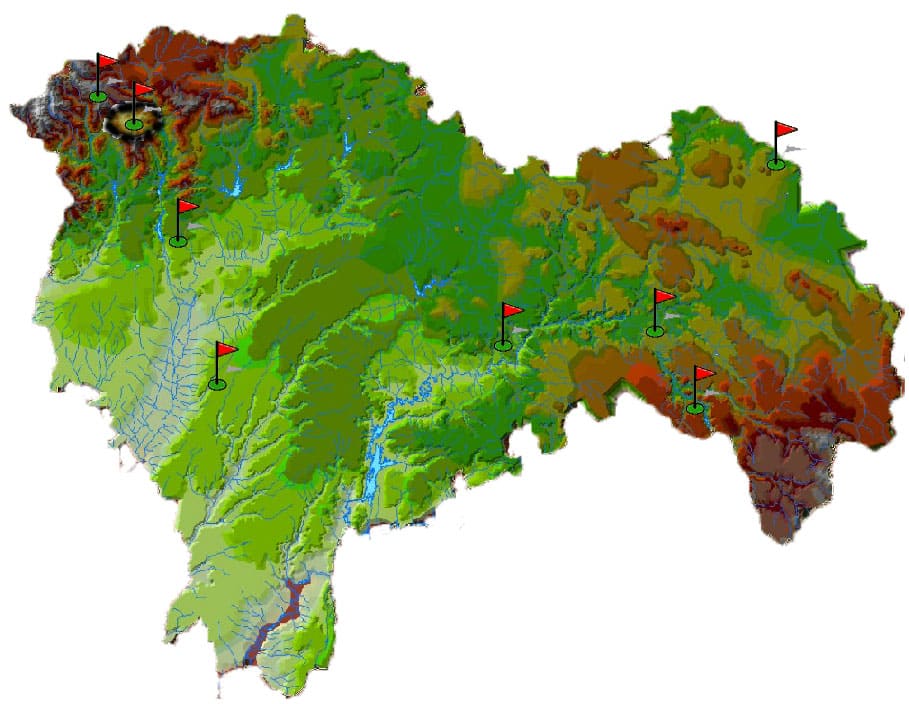
In the map below I present the general index of hiking trails that will explain in my website where you will find truthful information as to overcome these challenges.
There are all levels and are marked in different colors depending on the difficulty entailed either.
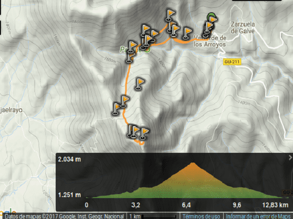
If you click on the map you can see the exposed routes that I have done.
If you press here you will see the topographic map classified by the areas of the region.
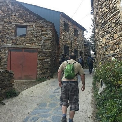
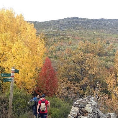
It starts from the village of "Valverde de los Arrollos" concerning Black Architecture.
This village is centuries old, specifically began to form from an urban core
the conquest of Toledo by the Christians. Gradually it grew in population and began the first constructions.
The people of this area used local use to work with local materials because it was very isolated from other populations, there that has preserved over time this form of construction.
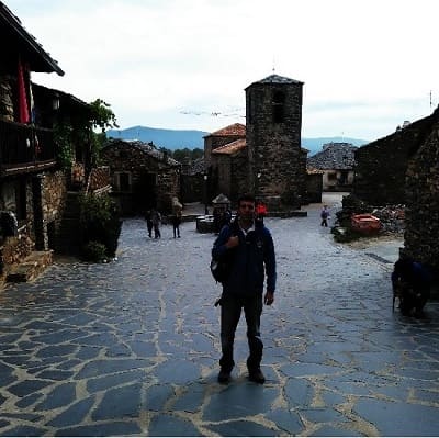
The village church was completed 200 years ago but has had numerous modifications and has a processional cross from the XVI century.
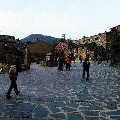
It also has a beautiful square with a fountain surrounded by typical old buildings in the area.
such as stone, slate or wood or clay leading to this type of architecture that is easily confused with the environment leaving the visitor a beautiful memory.
In the village we will not have problems when parking and there are many shops and a couple of bars where you can buy something incidentals.
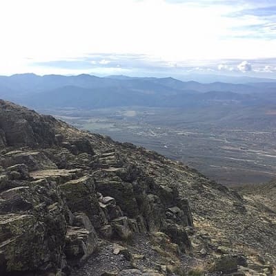
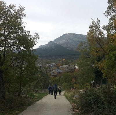
The Ocejon not visible from the village and that is behind the mountains that are in the vicinity.
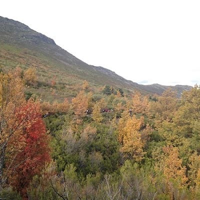
The village is 1200 meters high so that the living conditions in winter are quite hard, due to snowfalls and low temperatures. The path to the top is easy and costs nothing up the hill.
Once it has reached half of the slope wing about 1600 meters, the slope becomes more pronounced and wear. There are many stones that we will have to fight until we reach the base of the mountain.
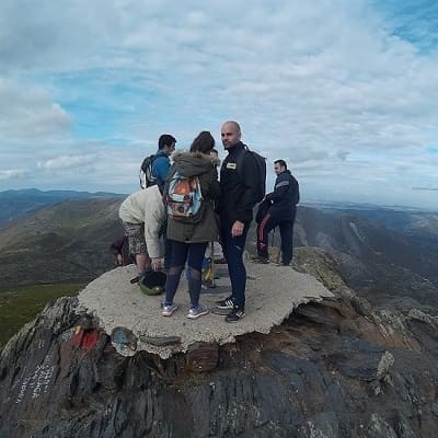
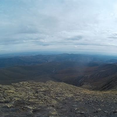
Once I reached that point we can proceed to climb the peak, which are no more than 150 meters higher but before we stop to rest and take some food.
We have there the geodesic peak point where we can see the other mountains, the central system and where you could see Wolf Peak.
This peak is the second highest in the province of Guadalajara, pulling more and to Madrid.
The route can be done either from Majalrayo or from Valverde de los Arrolos so if you have enough desire can be lowered to Majalrayo and someone can collect you there.
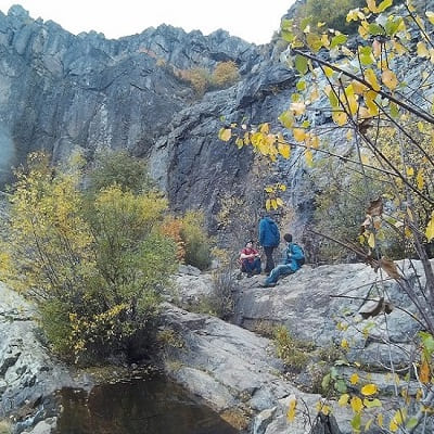
We opted to return for Las Chorreras. A place where water coming down from the mountain accumulates and it is full of vegetation and trees.
© 2016 - All Rights Reserved - Diseñada por Sergio López Martínez
![[Valid RSS]](https://www.onepointsync.com/wp-content/uploads/2016/08/valid-rss-rogers.png "Validate my RSS feed")