Region of Guadalajara has nothing to envy to other provinces of Spain. Here we can find wonders of nature that few people know.
The eastern part is quite unknown for most of the Spanish and has some of the best treasures as nature places.
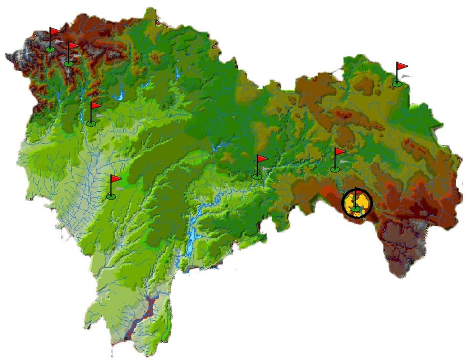
In the map below I present the general index of hiking trails that will explain in my website where you will find truthful information as to overcome these challenges.
There are all levels and are marked in different colors depending on the difficulty entailed either.
If you click on the map you can see the exposed routes that I have done.
If you press here you will see the topographic map classified by the areas of the region.
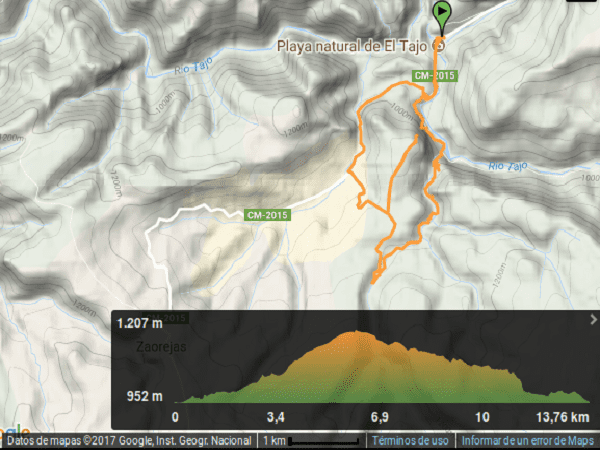
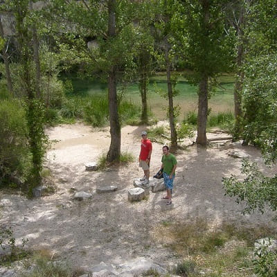
Begin from Zaorejas and it is by car at first. This route is a walk in the natural park of Tajo river.
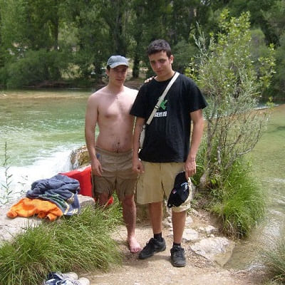
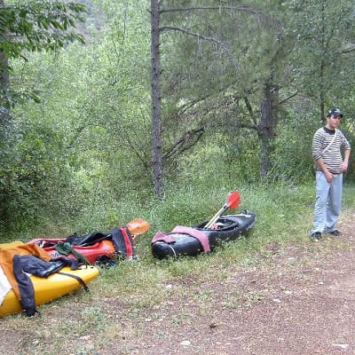
You climb to the viewpoint of Alto Tajo and then goes down to reach San Pedro Bridge where we can swim and perform water activities like kayaking or canoeing.
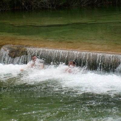
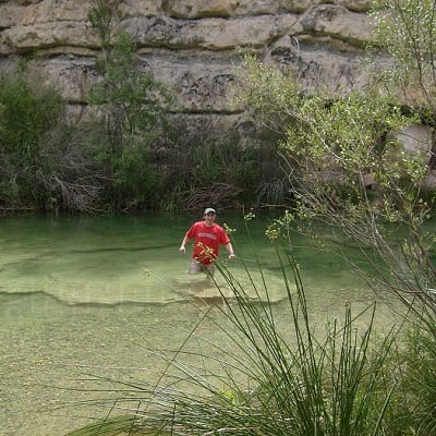
Going by car we can go to enjoy a bit of a stretch of the Barranco de la Hoz, where there is a shrine to the Virgin chapel and we can see the magnificent views of this region.
On the bottom there are numerous jumps in the river and incredible views, the best in the province of Guadalajara.
© 2016 - All Rights Reserved - Diseñada por Sergio López Martínez
![[Valid RSS]](https://www.onepointsync.com/wp-content/uploads/2016/08/valid-rss-rogers.png "Validate my RSS feed")