Region of Guadalajara has nothing to envy to other provinces of Spain. Here we can find wonders of nature that few people know.
The eastern part is quite unknown for most of the Spanish and has some of the best treasures as nature places.
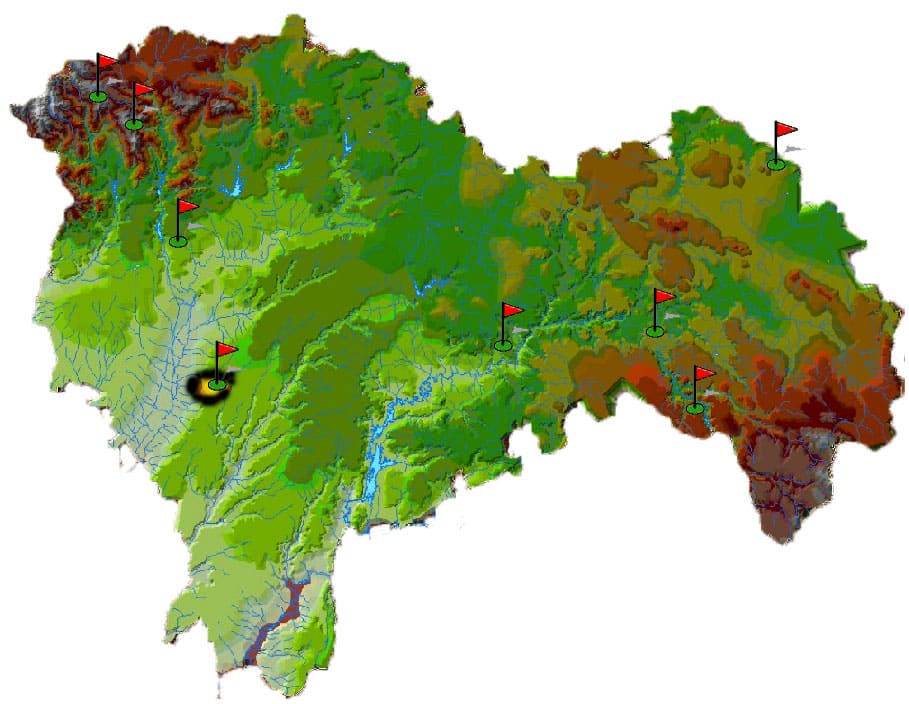
In the map below I present the general index of hiking trails that will explain in my website where you will find truthful information as to overcome these challenges.
There are all levels and are marked in different colors depending on the difficulty entailed either.
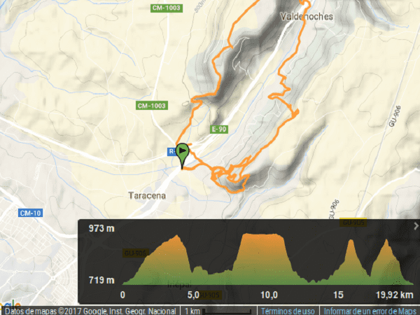
If you click on the map you can see the exposed routes that I have done.
If you press here you will see the topographic map classified by the areas of the region.
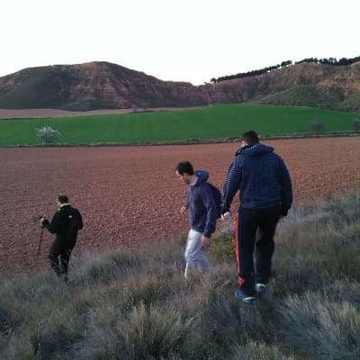
We start from the capital by car in a way that does not take us 10 minutes or off taracena take a detour to the left of the A2.
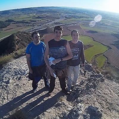
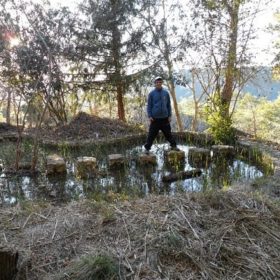
The little known peak Aguila Alcarrian as such even visited seen from afar when approaching Guadalajara before the famous "Cuesta del Toro".
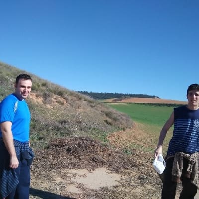
There is no special way and have to climb through the field.
In the route we will find numerous shrubbery and pine, endemic species of scrubland.
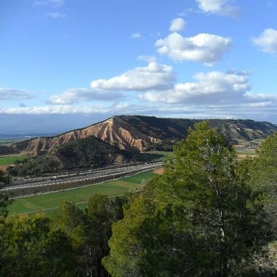
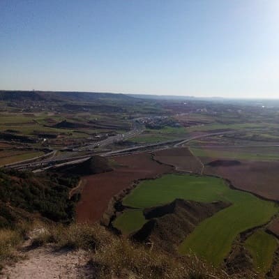
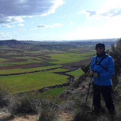
Once at the top we can contemplate the city of Guadalajara and Peña Hueva the background.
It so happens that the day we climbed this small mountain had an eagle eyeing the area in the sky to no more than 200 meters.
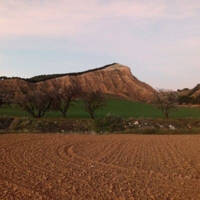
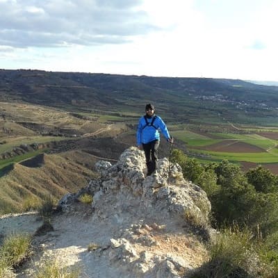
Then we go down on the other side of the mountain and board the car to cross the A2 and begin the ascent of the Hueva rock, famous for Guadalajara people.
Climbing to Peña Hueva is used more and more by cycling fans or simply take the country air that while Guadalajara is not like any city of Madrid.
You could be asphyxiated by car fumes and noise, rather quiet demeanor on sites like these can find peace as if we were in our village.
The rise is low level if we go down the path but if we climb through the field is rather intermediate level.
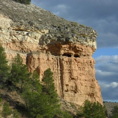
In addition you can see at all times the highest since the profile of the mountain is from this side and there are beautiful views on the mountain wall due to erosion over time can give the appearance of caves in the rock.
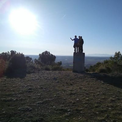
Once at the top we can contemplate risen above the peak Aguila symbol of this space in this website.
We will also have a small viewpoint as the peak Agulia and a control tower watching around in case of fire and some
telecommunication antennas. With this we will know a little more of our territory ...
© 2016 - All Rights Reserved - Diseñada por Sergio López Martínez
![[Valid RSS]](https://www.onepointsync.com/wp-content/uploads/2016/08/valid-rss-rogers.png "Validate my RSS feed")